Trikkeløkka nabolag
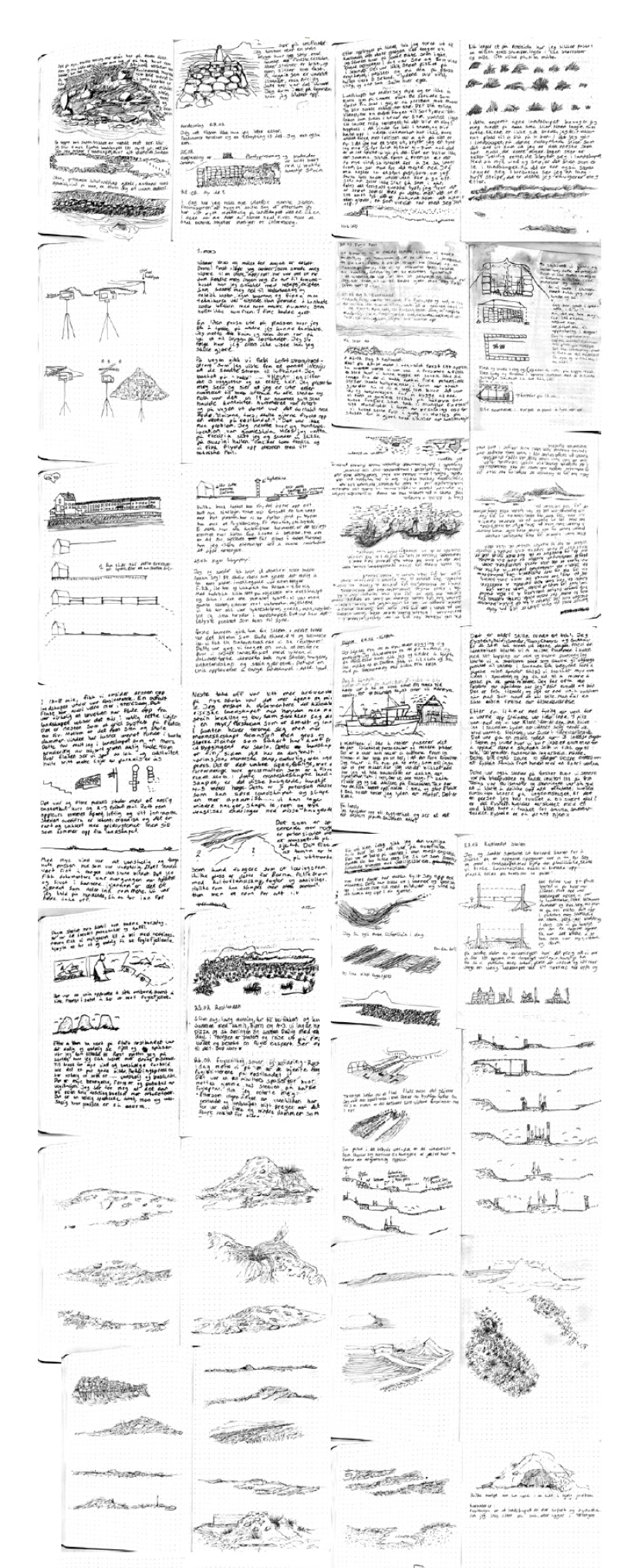
The Røst excursion (2023) was an exploration aimed at uncovering traces of history, birdlife, and water. This two-week field trip was designed with the purpose of "seeing"—to move beyond preconceived notions or assumptions about a place. It was an endeavor to learn from the inhabitants of the landscape, whether they be animals, humans, or the remnants of past interactions with the land. By employing various techniques of recording, being, moving, or tracing, the place was observed from a fresh perspective.
The intentional focus on visualizing the place differently was crucial, as it is through the representation of a place that its essence becomes apparent. This approach also highlights the extent to which it is possible to visualize something, allowing particular elements to be seen.
By continually changing the mode of drawing, photographing, scanning, or reading, the method enables the observer to see specific aspects of the landscape. Each technique detects and reveals different facets, offering a unique lens through which to understand and appreciate the environment (Wall,2019).
By continually changing the mode of drawing, photographing, scanning, or reading, the method enables the observer to see specific aspects of the landscape. Each technique detects and reveals different facets, offering a unique lens through which to understand and appreciate the environment (Wall,2019).


This map explores soil moisture in blue, indicating that large parts of the island are wetland areas with important natural types such as coastal heath and a nature reserve in the northwest. The gray areas represent topography higher than 2.6 meters. Røst has a very distinctive topography, with small hills stretching across the landscape. These higher areas are natural places for the population to reside, as they are drier and the houses are at less risk of flooding.

The pink circles mark freshwater ponds from 1889, where several of the ponds have been drained into large water basins that now serve as drinking water sources for the population. The drainage process is one of the major factors putting the wetlands under pressure. This map provides a visual representation of how topography and human intervention affect the island's natural environment, highlighting the importance of preserving these vulnerable ecosystems
This figures highlights what was once a wetland with nine large ponds. The region had a great diversity of coastline in the south and important brackish and freshwater ponds extending northward, all the way into the wetlands. Today, the central part has been covered by parking lots and a 110-meter-long artificial turf field with 200 tons of rubber granules. Currently, there is a community center, municipal building, and sports hall that have been established over the area. From being a rich ecological haven with nine ponds, marshes, diverse meadows, and a thriving bird habitat, this location has become a large barrier with only three large ponds and two small ones remaining. Creating new barriers not only for the wetland, but also for the humans and animals using the area.
